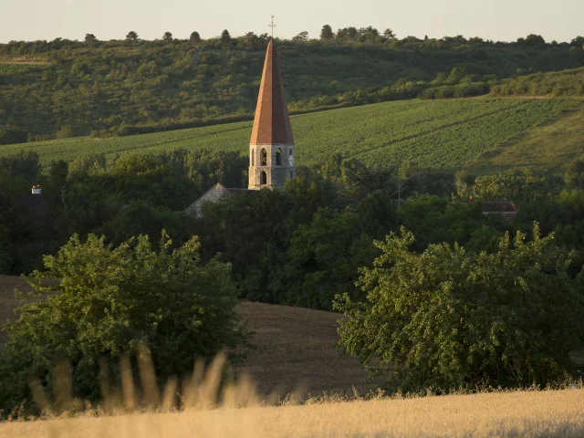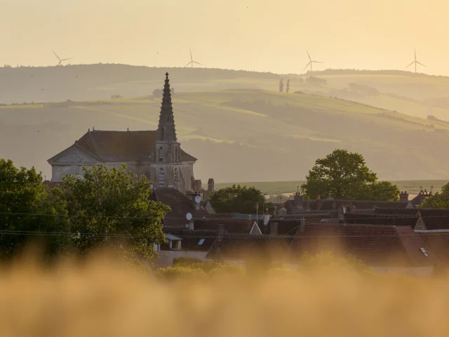
The commune of Gurgy lies on fertile land bordered by the river, which justifies the early arrival of life on this sandy territory. The name of the commune is known from Gallo-Roman times, in the form of “Gurgiacus”. Colonization by Germanic tribes, including the Burgundians, led to the population’s conversion to Christianity, and 12th-century writings refer to the commune as “Gurgi”.
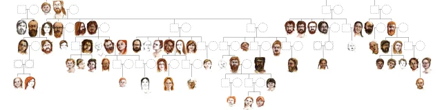
The first traces of settlement in the commune date back to the Neolithic period, between 6000 and 2200 BC. Exceptional archaeological excavations in Gurgy have revealed several major Neolithic sites, including one of the largest French Neolithic necropolises dating from 5000 BC to 4200 BC.
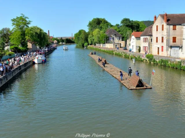
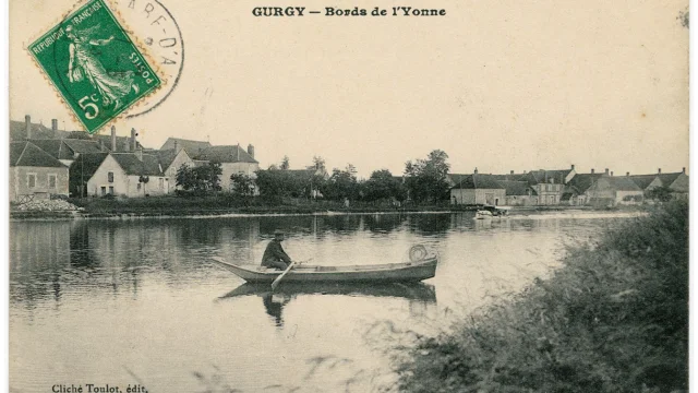 Carte Postale Des Bords De Lyonne Debut 20e Siecle Ad89 2 Fi 3018
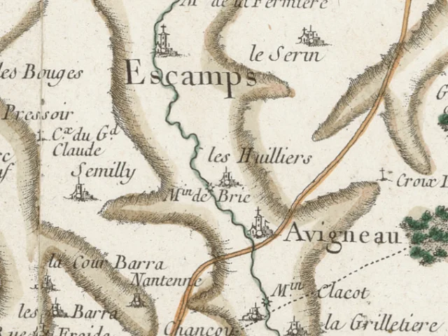
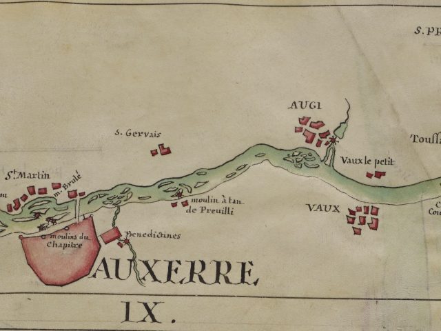
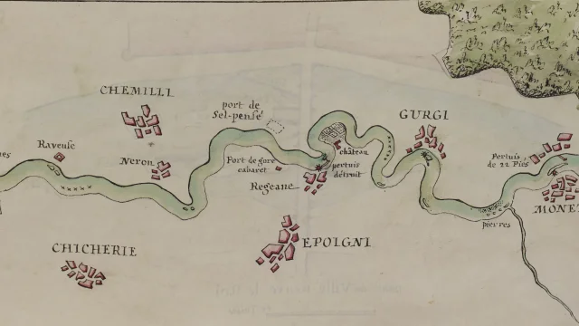 Releve De Lyonne Dapres La Cartographie De Labbe Lagrive 1732 1737 Gallica